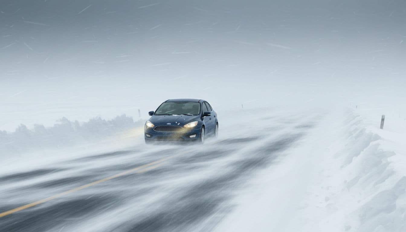
A powerful winter storm is moving into the mid-Atlantic region, and the National Weather Service (NWS) has issued blizzard warnings for several states. Forecasters warn that travel could become nearly impossible once the storm is in full force, with people at risk of getting stranded if they are on the road.
This system is expected to bring heavy snow, strong winds, and dangerous wind chills. The combination of these factors could create whiteout conditions, make roads slick or impassable, and cause scattered power outages across affected areas.
Where Blizzard Warnings Are in Effect
The NWS has posted blizzard warnings from 10 a.m. Wednesday through 10 a.m. Thursday. The alerts cover several counties in West Virginia, including Greenbrier, Tucker, Preston, Grant, Pendleton, Webster, Pocahontas, and Randolph. Garrett County in Maryland is also under a blizzard warning.
These areas are expected to see some of the worst conditions as the storm intensifies. Other nearby regions are under winter weather advisories or winter storm warnings, which means widespread hazardous travel is likely even outside the core blizzard zone.

What Counts as a Blizzard?
Many people think any heavy snowfall is a blizzard, but the NWS uses a specific definition. A storm is considered a blizzard when:
- Frequent wind gusts reach 35 mph or higher, and
- Blowing and falling snow reduce visibility to less than one-quarter mile, and
- These conditions last for at least three hours or more.
In this storm, forecasters expect snow totals between 3 and 12 inches across the warned areas. However, the biggest threat is not just how much snow falls, but how strong winds up to 60 mph will blow that snow around. That is what creates whiteout conditions where drivers cannot see the road in front of them.
“Plan on Nearly Impossible Travel”
NWS offices in the region are using strong language to get people’s attention. NWS Baltimore has warned travelers to “plan on nearly impossible travel,” noting that widespread blowing snow will significantly reduce visibility.
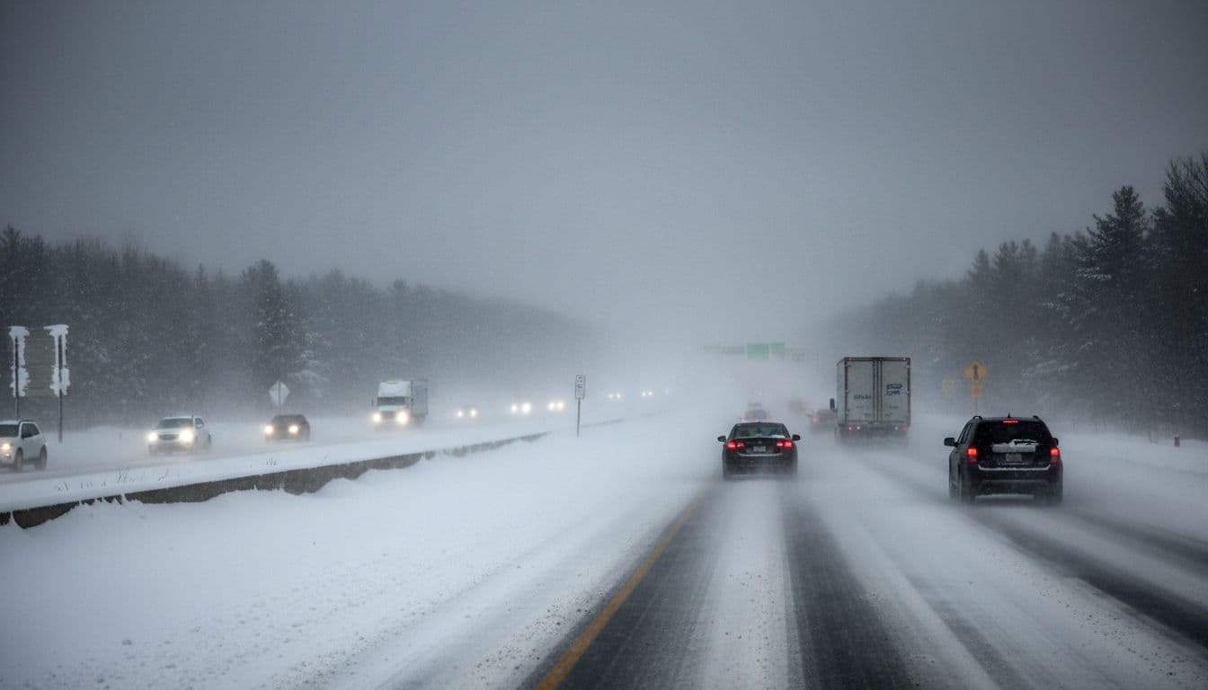
The most dangerous periods are expected during the Wednesday evening and Thursday morning commutes. Roads, bridges, and overpasses may quickly become slick or completely covered, and snowplows may struggle to keep up while the storm is at its peak.
Residents are being told to limit travel to emergencies only. If you must go out, let someone know your route and expected arrival time, carry a fully charged phone, and pack emergency supplies in your vehicle.

Risk of Stranded Drivers and Power Outages
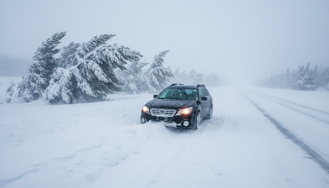
With heavy snow and powerful winds, the risk of stranded vehicles rises sharply. The NWS urges anyone who gets stuck in the storm to stay with their vehicle instead of trying to walk for help. Whiteout conditions can disorient people very quickly, even over short distances.
Forecasters also warn that strong gusts may bring down tree branches and power lines. That means scattered power outages are possible, especially in higher elevation areas and places with heavy, wet snow building up on trees.
If you live in a region under a blizzard warning or winter weather advisory, prepare for the possibility of losing power. Charge devices ahead of time, gather flashlights and batteries, and make sure you have blankets and warm clothing available.
What to Expect During the Storm
The storm is expected to unfold in waves. Some areas may experience a brief lull in snowfall during Wednesday afternoon. However, the NWS notes that winds will stay strong, so blowing snow and low visibility will remain a problem.
Conditions are likely to worsen again Wednesday evening and stay hazardous into Thursday morning. Even after the heaviest snow ends, drifting snow, icy roads, and bitter wind chills may still create dangerous situations for travelers and anyone spending time outside.

How to Prepare and Stay Safe
If you are in the path of this blizzard, taking simple steps now can make a big difference. Here are some key safety tips from forecasters and emergency planners:
1. Avoid Travel if Possible
- Postpone trips until after the storm if you can.
- If you must drive, fill your gas tank, share your route, and check local road conditions.
- Keep extra blankets, water, snacks, and a small shovel in your car.
2. Prepare Your Home
- Charge phones, power banks, and other devices before the storm hits.
- Have flashlights, batteries, and a battery-powered radio ready.
- Keep a three-day supply of food and water for your household if possible.
3. Dress for Extreme Cold
- Wear layers, a hat, gloves, and waterproof boots when you go outside.
- Avoid staying outside for long periods during peak winds and whiteout conditions.
4. Know What to Do If You Are Stranded
- Stay with your vehicle; it offers shelter and is easier for rescuers to find.
- Run the engine for short periods to stay warm, but keep the exhaust pipe clear of snow.
- Turn on your hazard lights and tie a bright cloth to your antenna or door handle if you can.
Conditions May Stay Hazardous Even After Warnings End
Blizzard warnings for most affected counties are set to remain in place through Thursday morning. However, that does not mean conditions will instantly improve once the warnings expire.
Crews will need time to clear roads, remove fallen branches, and restore power where it has been lost. Even light traffic on untreated roads can compact snow into ice, which keeps travel risky long after the last flakes fall.
Residents should continue to follow updates from the National Weather Service, local emergency managers, and transportation departments. Stay alert to changing conditions, and wait for official word that roads are safe before resuming normal travel.
Stay Informed and Put Safety First
This winter storm has the potential to bring life-threatening conditions to parts of the mid-Atlantic, especially in higher elevations under blizzard warnings. While snow totals may vary from place to place, the combination of heavy snow and powerful winds will create severe hazards for anyone on the road.
By taking the warnings seriously, preparing in advance, and limiting travel during the worst of the storm, you can greatly reduce your risk. Stay informed, stay indoors if you can, and put safety first until the blizzard has fully passed and conditions improve.
To contact us click Here .

