Central Illinois faces a blast of extreme cold tonight and into Sunday morning, with life-threatening wind chills expected across much of the region. Residents in communities such as McLean, De Witt, Piatt, Champaign, Vermilion, Christian, Macon, Moultrie, Douglas, Coles, Edgar, and Shelby counties should prepare for some of the coldest conditions seen this early in the season since the 1970s.
Local officials and forecasters are urging everyone to take this cold snap seriously. Even a short time outside can be dangerous if you are not dressed properly, especially overnight and early Sunday morning when temperatures and wind chills will be at their worst.
Extreme Cold Warning and Advisory Areas
An Extreme Cold Warning is in effect for several counties across Central Illinois until noon on Sunday. This includes:
- McLean County
- De Witt County
- Piatt County
- Champaign County
- Vermilion County
- Christian County
- Macon County
- Moultrie County
- Douglas County
- Coles County
- Edgar County
- Shelby County
The rest of Central Illinois is under a Cold Weather Advisory. While advisory areas may not reach the lowest wind chills, conditions will still be harsh, especially for anyone without adequate shelter or winter gear.

How Cold Will It Get?
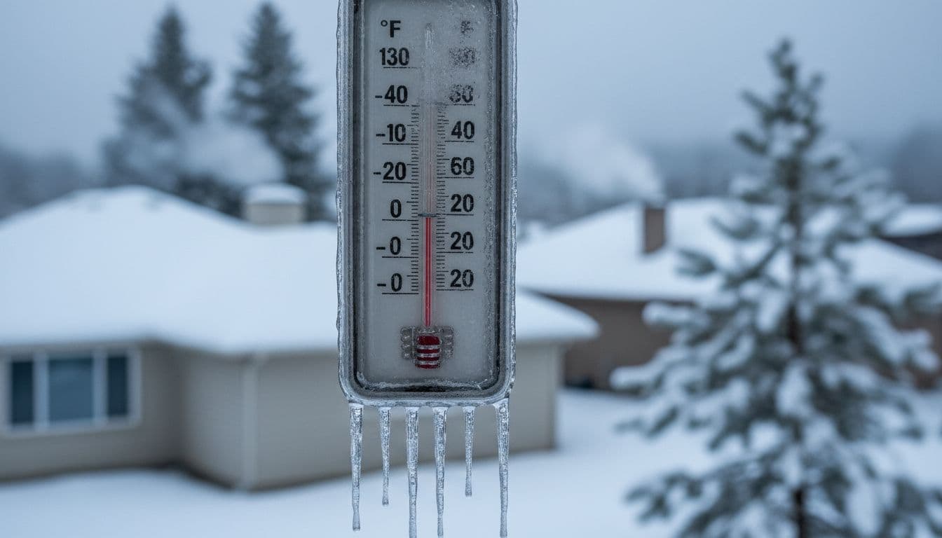
Actual air temperatures tonight could fall to around -7°F. That is brutally cold on its own, but the real danger comes from the wind. Gusts will combine with the frigid air to create wind chills that feel much colder than the actual temperature.
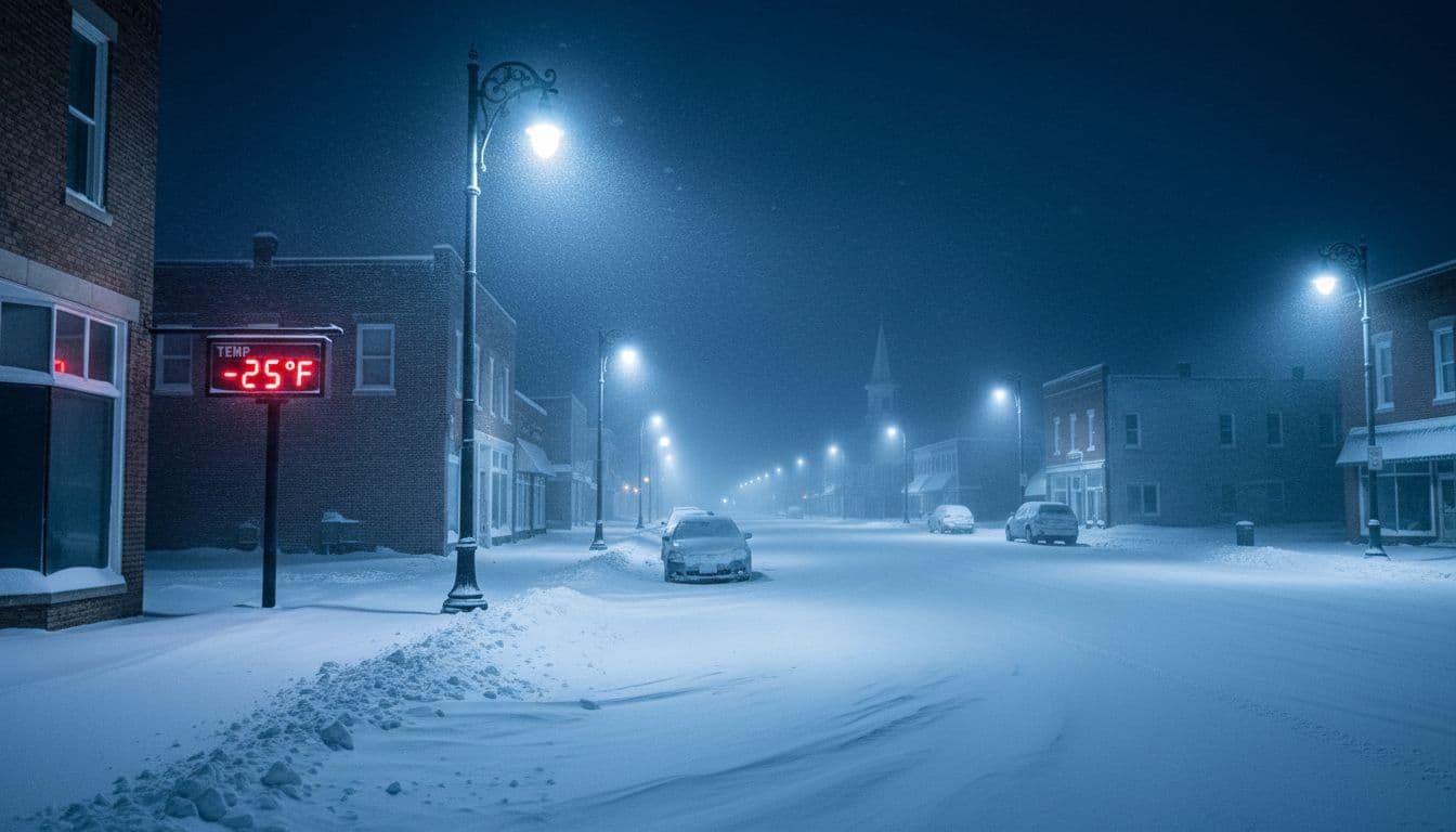
Around midnight, wind chills are expected to drop to around -20°F in many communities. The most dangerous window will be early Sunday morning, between 5 a.m. and 10 a.m., when wind chills may fall to -25°F or lower.
At those levels, frostbite can start on exposed skin in as little as 20 to 30 minutes. Hypothermia is also a serious risk, especially for children, older adults, and anyone who has to be outdoors for work or travel.
Health Risks From Extreme Cold
When temperatures and wind chills drop this low, your body loses heat much faster than it can produce it. This can lead to dangerous conditions, including:
- Frostbite (damage to skin and tissue), often affecting fingers, toes, ears, and nose
- Hypothermia, when your body temperature drops below 95°F
- Increased strain on the heart and lungs for people with existing health conditions
Early signs of frostbite include numbness, tingling, or skin that looks pale, gray, or waxy. Hypothermia signs include shivering, confusion, slurred speech, and extreme tiredness. If any of these symptoms appear, move to a warm place immediately and seek medical help if needed.

How to Stay Safe During the Extreme Cold
Planning ahead is the best way to handle a cold snap like this. Here are some simple, practical steps to stay safe tonight and Sunday morning:
1. Limit Time Outdoors
If you do not have to be outside, stay indoors, especially overnight and early Sunday morning. If you must go out, keep trips brief and tell someone where you are going and when you expect to be back.
2. Dress in Layers
Wear several thin layers instead of one heavy layer. This traps warm air and keeps you better insulated. Include:
- A moisture-wicking base layer to keep sweat off your skin
- A warm middle layer like fleece or wool
- A windproof and waterproof outer layer
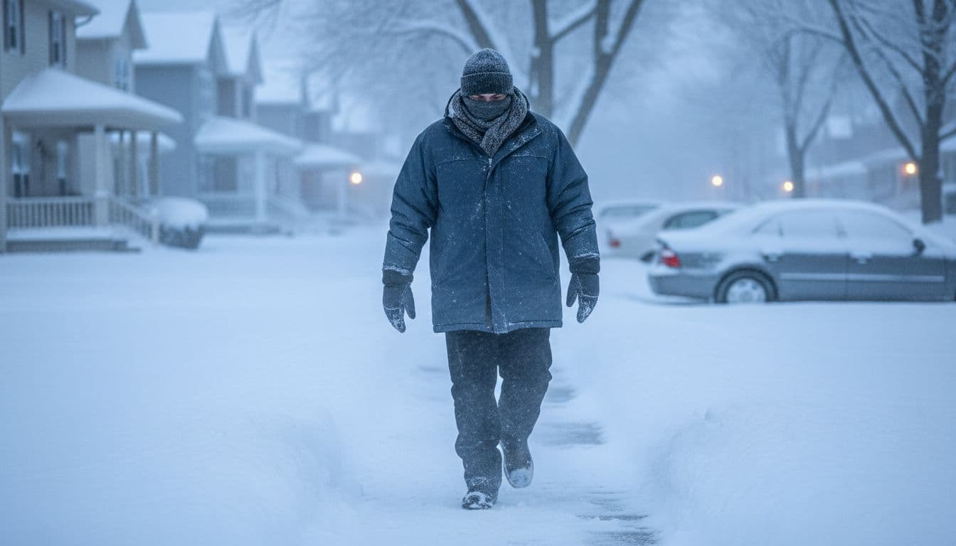
- Thick socks, insulated boots, gloves or mittens, a warm hat, and a scarf or face covering
3. Protect Your Home
Extreme cold can be hard on homes and utilities. To avoid frozen pipes and other issues:
- Keep the thermostat set at a consistent temperature
- Open cabinets under sinks to let warm air circulate around pipes
- Let faucets drip slightly if pipes are at risk of freezing
- Close curtains at night to keep heat inside
4. Check on Neighbors and Vulnerable People
Older adults, people with medical conditions, and those without reliable heat are at greater risk during cold snaps. If it is safe to do so, check in on friends, family, and neighbors. A quick phone call or text can make a big difference.

Travel Tips for Tonight and Sunday Morning
If you need to travel overnight or early Sunday, prepare as if you might get stuck in the cold. Even a minor car problem can become dangerous very quickly when wind chills are near -25°F.
Before you leave, make sure to:
- Fill your gas tank and charge your phone
- Tell someone your route and arrival time
- Keep a winter emergency kit in your vehicle
A simple winter car kit might include:
- Blankets or a sleeping bag
- Extra hats, gloves, and socks
- Non-perishable snacks and bottled water
- A flashlight and extra batteries
- Jumper cables and a small shovel
If you become stranded, stay with your vehicle if possible. Run the engine for short periods to stay warm, crack a window slightly for ventilation, and clear snow from the exhaust pipe to prevent carbon monoxide buildup.
Looking Ahead
This extreme cold spell will not last forever, but it will be intense while it is here. Temperatures and wind chills should slowly improve after late Sunday morning, once the warning and advisories expire. Even so, it may remain quite cold for another day or two, so it is smart to keep winter supplies handy.
For now, the focus is on getting through tonight and Sunday morning safely. Pay attention to local forecasts, follow any alerts from officials, and avoid taking risks in this kind of weather. With a bit of preparation and caution, you can protect yourself, your family, and your neighbors from the worst impacts of this cold outbreak.
To contact us click Here .

