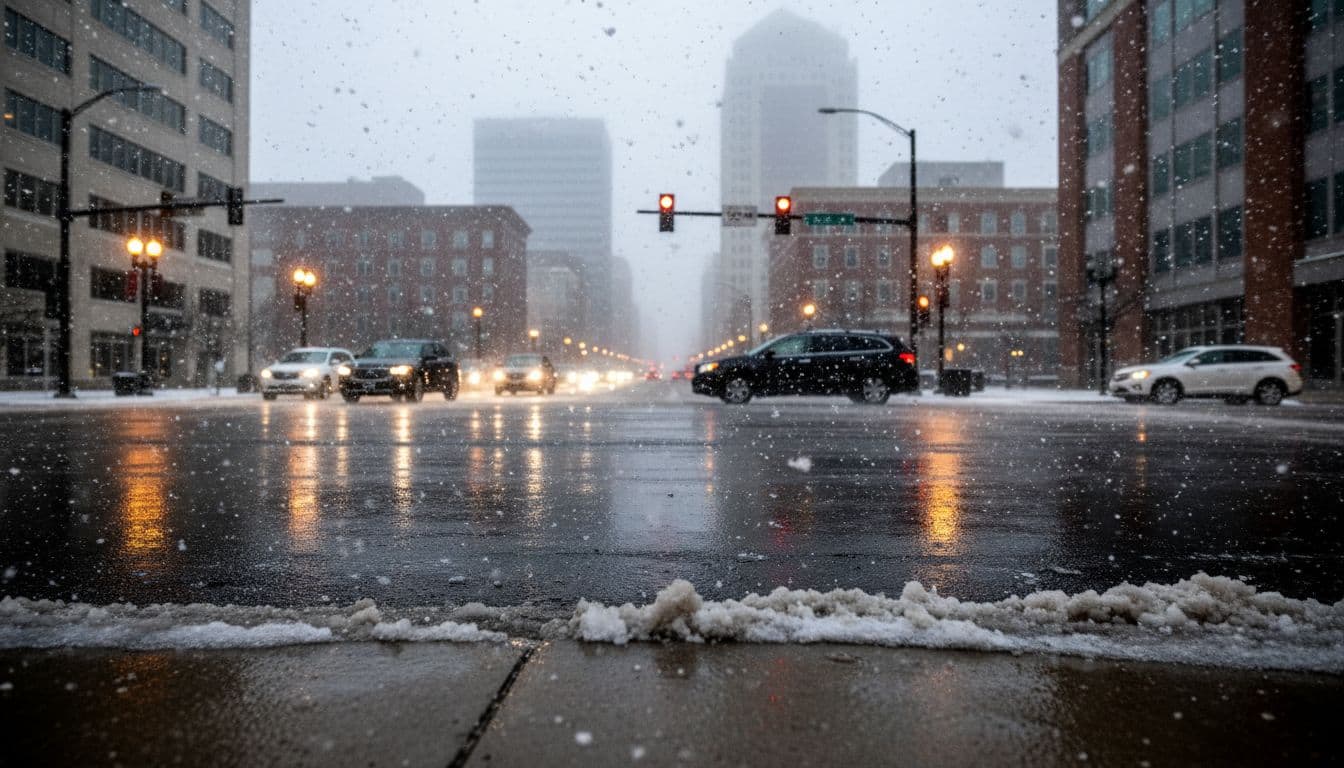
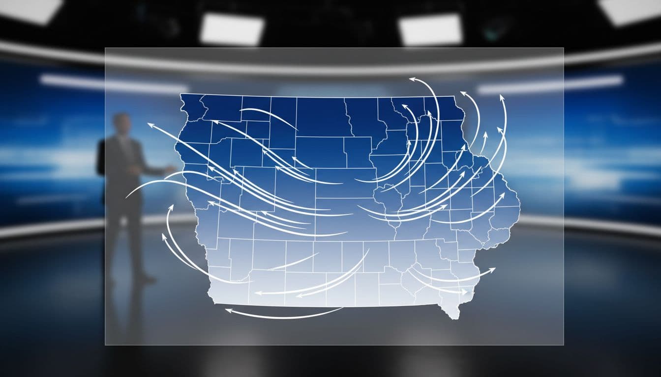
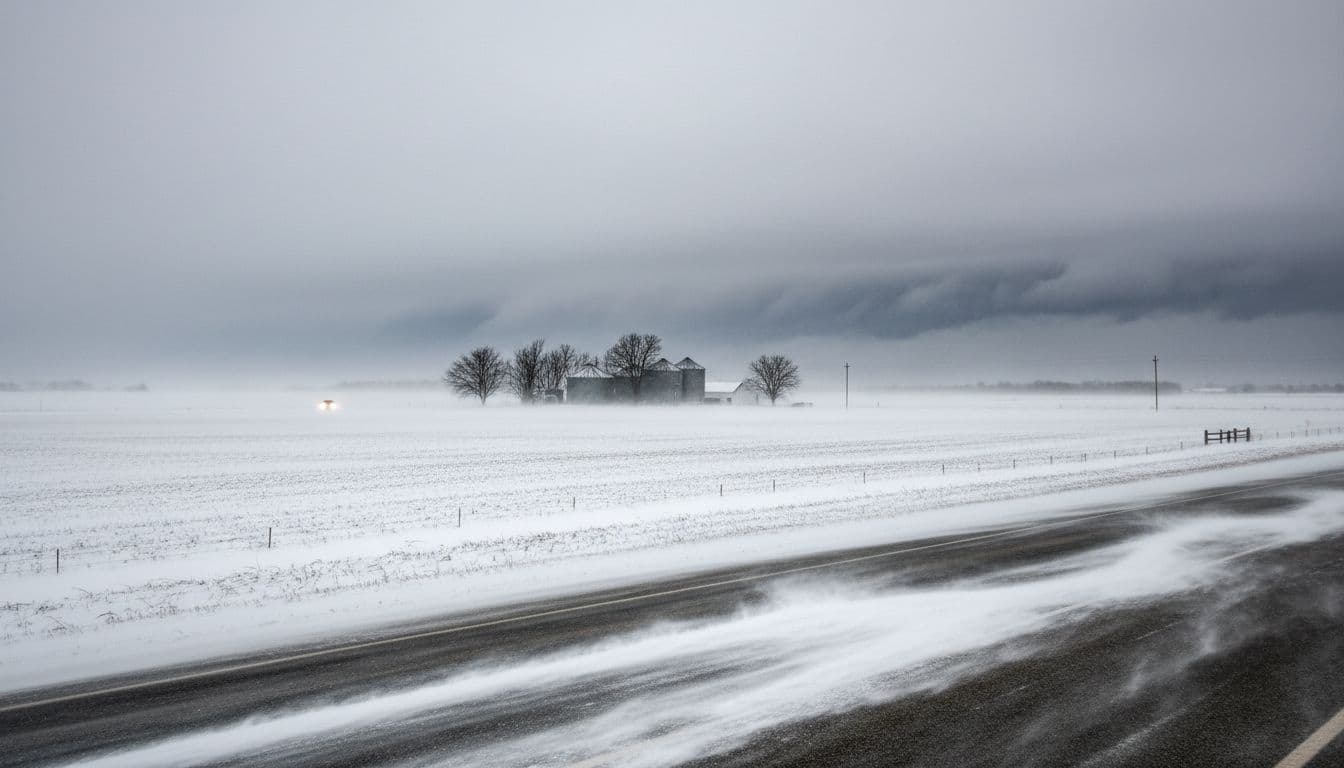
A powerful winter blast is sweeping across Iowa, bringing a fast mix of weather hazards into a short window of time. Forecasters are watching a rapid change from fog to rain, then to snow, followed by strong winds capable of creating near whiteout conditions in some areas. Even places that only see light snow can still have major travel problems when gusts pick it up and pushes it across roads.
This type of storm can be tricky because it is not only about snowfall totals. The bigger story is wind, visibility, and a sharp temperature drop that can freeze wet roads. If you have to travel, plan for changing conditions hour by hour, and be ready for slower speeds or delays.
Source note: This article is based on reported forecast details shared by KCCI and local meteorologists. Always check the latest statements from the National Weather Service for your exact location.
What’s happening: fog, rain, snow, then strong winds
The day can start out mild by winter standards, with fog and temperatures in the 40s in parts of central Iowa. As colder air pushes in, rain showers transition to a wintry mix and then snow. The switch can happen quickly, especially from northwest to north-central Iowa.
At the same time, wind ramps up. Gusts in the 40 to 55 mph range can blow snow across open areas and rural highways, reducing visibility and creating drifting. That combination is what can trigger blizzard conditions, even when the total snow amount is not extreme.

Where conditions are worst (and why the north matters most)
Northern Iowa is expected to see the greatest impact because snow will last longer there, and wind will remain strong into the overnight and early morning hours. Areas north of Highway 30 can see more frequent visibility issues, with the highest risk closer to and north of Highway 20.
In these zones, drivers may face:
- Blowing and drifting snow on open stretches of road
- Rapid visibility drops (especially in bursts of heavier snow)
- Snow-packed lanes as drifting refills cleared areas
- Worsening conditions after dark when visibility is already limited
Meanwhile, central Iowa can still get brief snow and wind, but the snow window may be shorter. Farther south, some towns may see little snow accumulation. Even then, strong gusts can move existing snow around and cause surprise slick spots as temperatures fall.
How much snow is expected?
Snow totals are expected to vary widely across the state. The general pattern is higher totals near the Minnesota border, with decreasing amounts farther south. Forecasts like this often come with uncertainty because a small shift in the storm track can move heavier snow bands north or south.
As reported in local forecast updates, potential totals can look like this:
- Near the Minnesota border: roughly 2 to 5 inches
- Near Highway 20: around 2 to 3 inches
- Near Highway 30: around 1 to 2 inches
- Central Iowa metro areas: about an inch or less in many spots
- South of I-80: minimal accumulation in many areas
Again, totals are only part of the story. Even 1 to 2 inches can become a big problem when it is blowing sideways at 50 mph.

Timeline: when travel may be most dangerous
Expect conditions to evolve through the day, with the worst periods depending on where you are:
- Morning: fog and rain can limit visibility, especially early. Northwest Iowa can start changing to snow sooner.
- Late morning to midday: temperatures begin falling fast. Rain may change to a mix, then to snow. Wet roads can start to freeze.
- Afternoon: snow may push east in central areas, but wind increases. Blowing snow can become the main hazard even as snowfall decreases.
- Evening and overnight (north): snow lasts longer in far northern Iowa, and strong winds continue, keeping blowing and drifting problems active.
- Early Monday (in some areas): even after snowfall ends, wind can keep causing drifting and visibility issues during the morning commute.
Why temperatures dropping matters so much
One of the biggest risks in a “rain to snow” setup is flash freezing. Roads that were simply wet in the morning can turn icy once colder air arrives. Bridges, overpasses, and untreated county roads often freeze first. If wind is strong, it can also cool road surfaces faster and make it harder for crews to keep up.
Bottom line: if you see rain earlier in the day, do not assume the roads will stay fine. The same wet pavement can become icy in a short time once temperatures fall below freezing.
Safety tips: if you must drive
If you can delay travel, that is often the safest choice. If you cannot, use a cautious plan and give yourself extra time:
- Check alerts before leaving: look up NWS warnings/advisories for your county.
- Slow down early: do not wait until you hit a slick patch to reduce speed.
- Watch for sudden whiteouts: blowing snow can cut visibility fast on open roads.
- Keep space: increase following distance and avoid sharp braking.
- Pack basics: warm layers, gloves, phone charger, and a blanket if traveling long distances.
- Fill your tank: detours and slow traffic can burn more fuel than expected.

Quick recap
Iowa’s winter blast combines several hazards at once: a fast shift from rain to snow, strong wind gusts that can create blizzard-like visibility, and a sharp temperature drop that can freeze wet roads. Northern Iowa is most likely to see the worst blowing and drifting, but strong winds can affect travel across much of the state. Stay weather-aware, adjust travel plans if you can, and check the latest official updates before heading out.
To contact us click Here .

