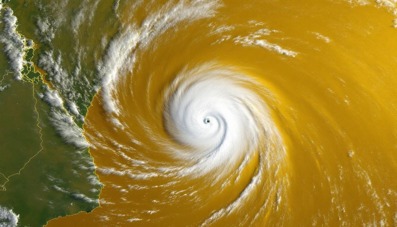
The 2025 Atlantic hurricane season is showing stronger and earlier storm activity than average, and Tropical Storm Erin is the latest warning sign. As the fifth named storm of the season, Erin rapidly formed near the Cabo Verde Islands off Africa, in a part of the Atlantic that’s a “hot spot” for hurricane development.
Where Erin Is Headed—and Why It Matters
Erin started with sustained winds near 45 mph and is forecasted to strengthen quickly, possibly reaching Category 3 or above by Saturday. The storm’s ultimate path depends on the Bermuda High—a huge high-pressure system that often steers hurricanes toward the Caribbean, Bermuda, or the U.S. East Coast.
Top meteorologists warn that minor shifts in the system could mean the difference between harmless Atlantic wandering or landfall anywhere from North Carolina to New England. Residents and emergency planners are watching closely.
A Hurricane Season Supercharged by Warm Waters

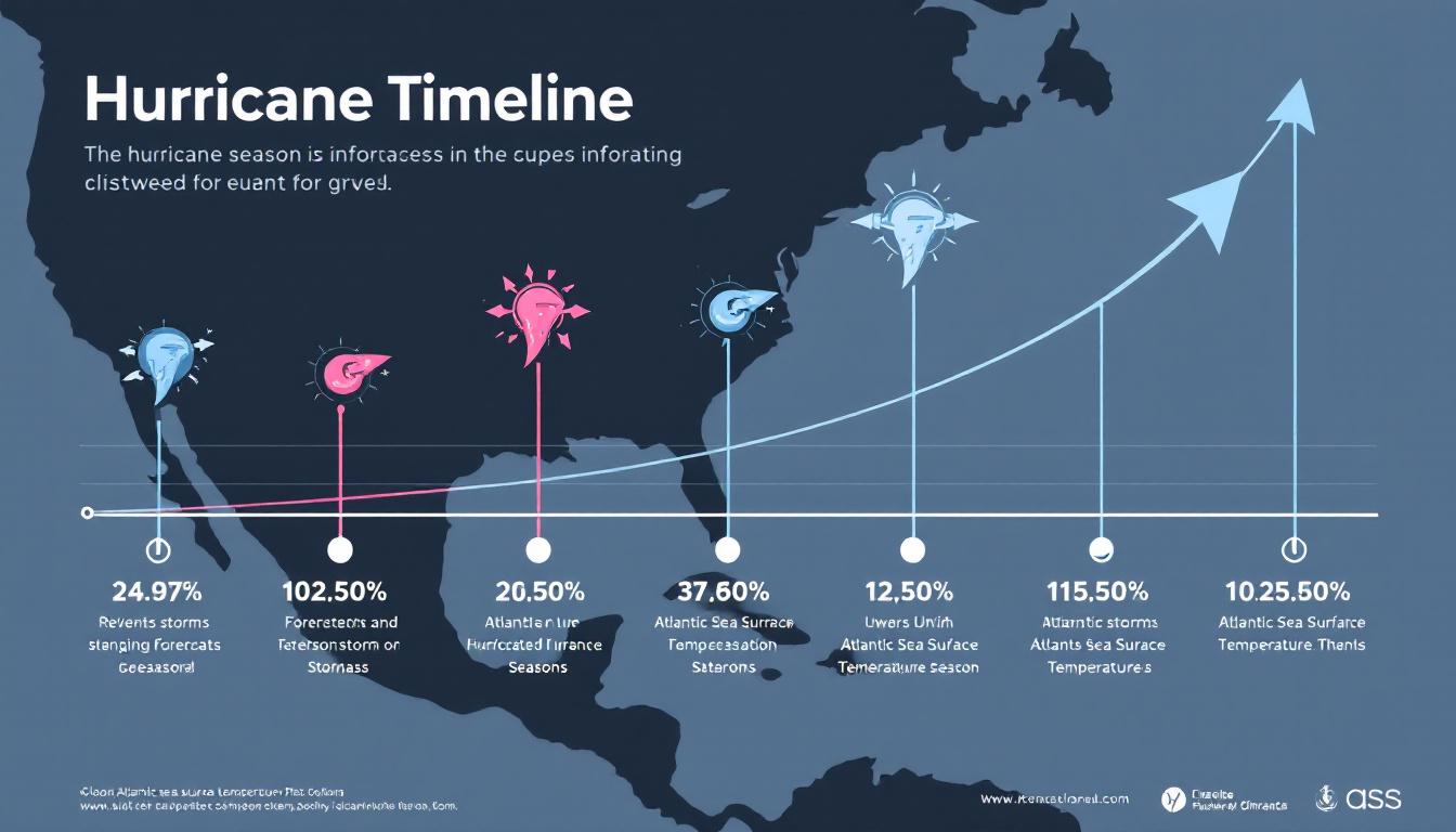
Sea surface temperatures (SSTs) across the main hurricane “development region” are far above normal. While not yet record-breaking, they’re still warm enough to drive rapid storm intensification. Warmer water fuels bigger, faster-developing hurricanes—all linked to ongoing climate change.
Including Erin, this season has already produced five named storms (Andrea, Barry, Chantal, Dexter, and now Erin), even before the historical peak of hurricane activity in late August and September. NOAA forecasts call for between 13 and 19 named storms and up to 10 hurricanes this year—3-5 of them are expected to be Category 3 or above.
Forecast Tools and Early Warnings
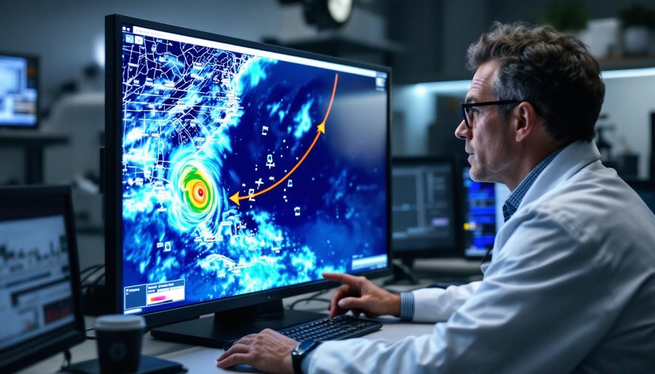
Computer models—like the “spaghetti models” seen on TV—combine dozens of predictions to track storms and estimate their strength. These tools, now more advanced than ever, allow scientists to issue faster and more reliable warnings.
The Human Side: Preparing for Storms

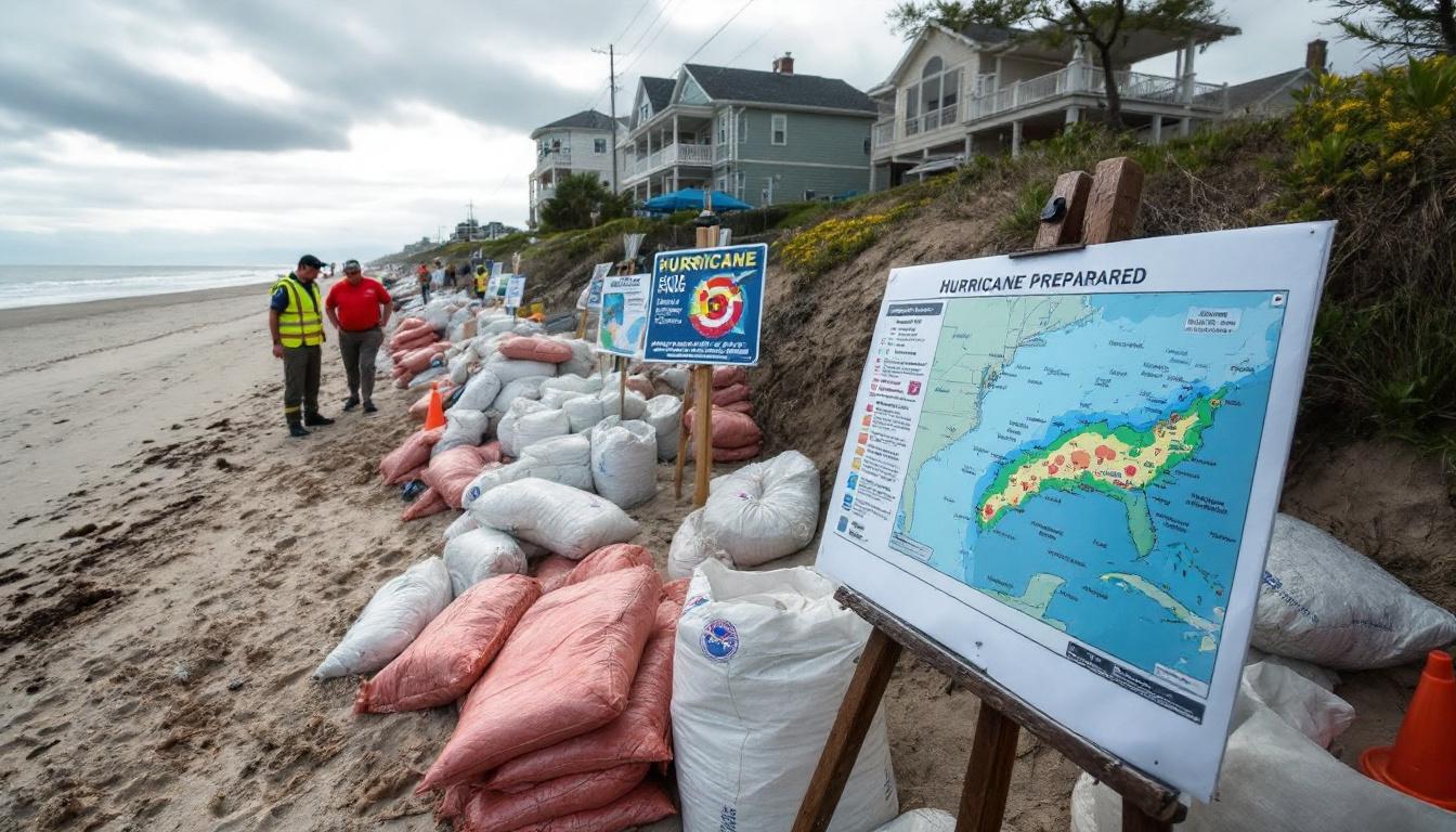
Emergency crews up and down the U.S. coast are already shifting into hurricane readiness mode. Communities are updating evacuation routes, testing disaster communication plans, and urging residents to prepare supplies and follow local alerts.
With early major storms now more common, experts stress that even families far from the coast need to be ready for flooding and power outages.
Linking Storm Trends to Climate Change

Scientists point to a pattern: rising ocean temperatures, reduced dust (which normally helps prevent storms), and lower wind shear are all driving more frequent and severe hurricanes. The early formation of strong systems like Erin backs up warnings from climate experts—Atlantic storms are emerging faster and hitting harder due to a warming Earth.
What Comes Next?
The fate of Erin is not yet certain, but its early formation is part of a bigger story—the Atlantic is entering a more dangerous era for hurricanes, and climate change is a core reason why.
Forecasters recommend:
- Keeping watch on forecasts, even outside peak hurricane months
- Updating emergency kits before storms form
- Taking warnings seriously, as rapid intensification can leave little time to act
To contact us click Here.

