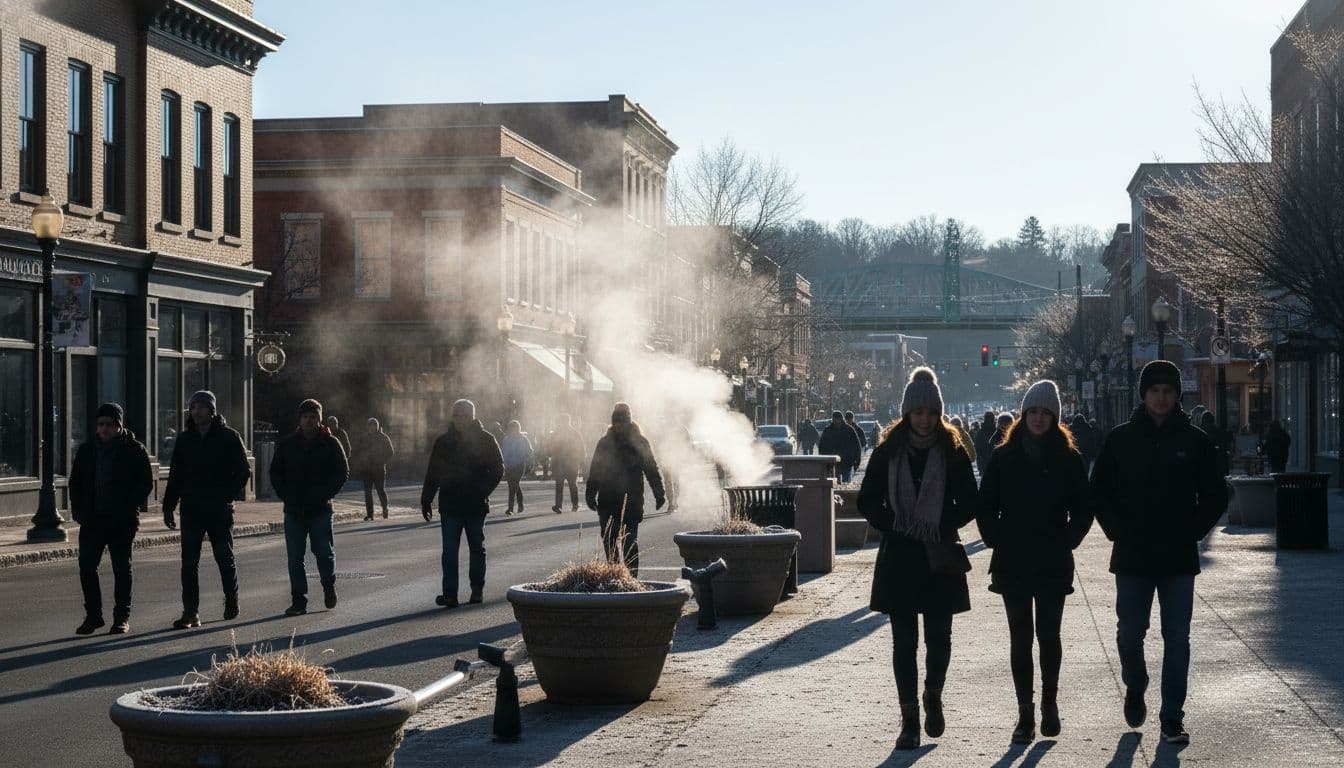
A sharp blast of cold air is pushing into South Carolina, bringing the season’s coldest nights so far. Forecasts point to widespread 20s and low 30s in many communities, with the coldest pockets in sheltered valleys and rural areas. Freeze warnings and frost advisories are in effect in multiple counties, and wind chills could make it feel even colder at daybreak.
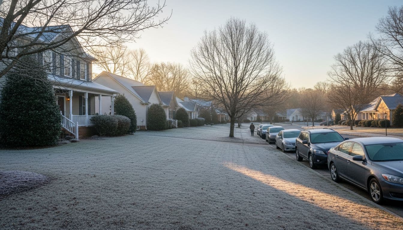
If you live in the Upstate, including the Greenville area, expect clear skies, light winds overnight, and a hard frost by dawn. Farther south and east, temperatures may run a few degrees warmer, but sensitive plants and outdoor faucets are still at risk. Now is the time to do the basics: cover plants, drip indoor faucets if needed, and bring pets inside.
Timing at a glance
- Evening: Temperatures drop quickly after sunset under clear skies.
- Midnight to sunrise: Coldest window, with widespread frost and freezing temps in colder spots.
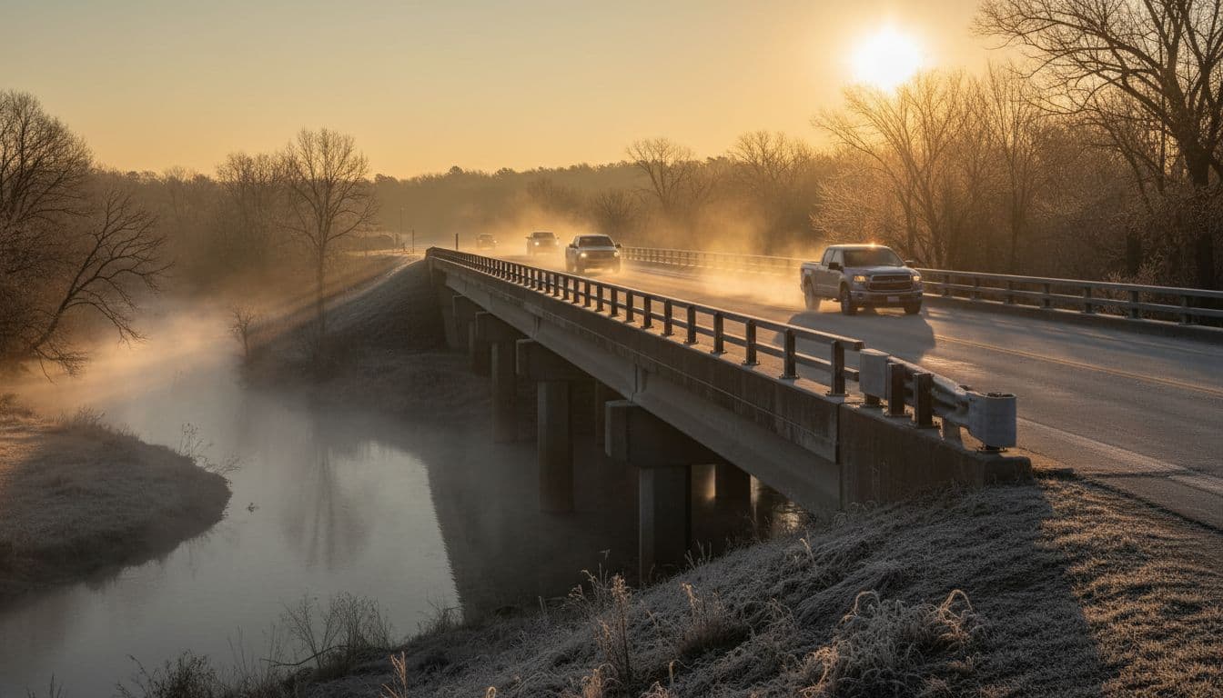
- Morning commute: Slick frost on windshields and bridges possible; allow extra time to scrape ice.
- Afternoon: Sunny but cool; high temperatures rebound slowly.
Another chilly night may follow before a gradual warm-up returns midweek. Check your local forecast for exact lows in your neighborhood.

Who is most affected
- Gardeners and farmers: Tender plants, late-season vegetables, and ornamentals are vulnerable.
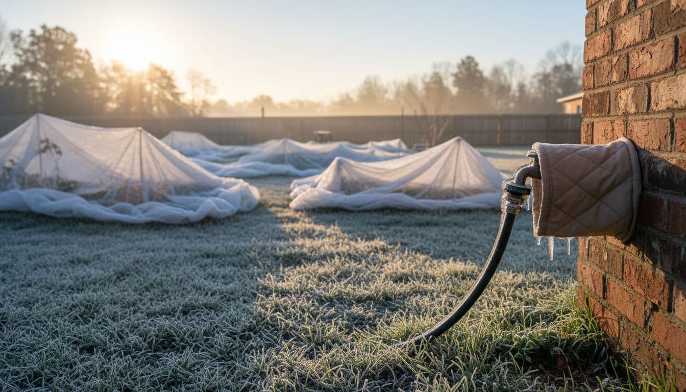
- Homeowners with exposed plumbing: Outdoor spigots and uninsulated pipes can freeze and burst.
- Outdoor workers and early commuters: Wind chills make it feel colder than the thermometer suggests.
- Pets and livestock: Animals need shelter, dry bedding, and unfrozen water.
- Drivers: Frost on bridges, shaded roads, and windshields can slow the morning commute.
Quick checklist: pipes, plants, pets, and people
- Protect pipes: Disconnect hoses, cover outdoor spigots, insulate exposed lines, and consider a slow drip for indoor faucets on exterior walls.
- Save your plants: Move potted plants indoors or to a garage; cover tender in-ground plants with frost cloth or sheets (not plastic touching leaves).
- Bring pets inside: Provide a warm indoor space. For outdoor animals, add bedding and block wind.
- Dress in layers: Hat, gloves, and a wind-blocking outer layer help during the coldest early hours.
- Warm the car safely: Never idle in a closed garage; scrape windshields and check tire pressure.

Travel and school-day tips
- Leave early: Plan a few extra minutes to defrost the windshield and drive slower on frosty bridges.
- Watch school delays: Districts rarely delay for cold alone, but frost can slow bus routes; check alerts.
- Pack warm gear: Send kids with hats and gloves for chilly bus stops and playground time.
- Check flights: Morning frost rarely cancels flights, but it can add de-icing time; verify status before heading to the airport.
How the pattern sets up
A dry, continental air mass is sliding south behind a recent front. Clear skies and light winds overnight let heat escape quickly, a classic setup for radiational cooling. Low-lying and rural spots lose heat fastest, which is why they often record the coldest readings. As high pressure settles overhead, conditions remain dry with bright sun, but it can take a day or two for afternoons to feel comfortable again.
If clouds move in or winds stay breezy overnight, temperatures may not fall quite as far. On the flip side, calm, crystal-clear nights are when you can expect the hardest frosts.

Local prep you can do today
- Walk the outside: Unhook hoses, turn off sprinkler systems, and cover spigots.
- Check the attic and crawl space: Add insulation or seal gaps where cold air reaches pipes.
- Stage plant covers: Keep frost cloths or sheets handy and secure them before sunset.
- Set thermostat safely: Maintain a steady overnight temp; avoid space heaters near curtains or bedding.
- Prep pet shelters: Fresh straw or blankets; check water bowls for ice in the morning.
When will it warm back up?
Sunshine returns during the day, and temperatures should slowly climb over the next 48–72 hours. Another cold night is possible before a more comfortable stretch midweek. Keep an eye on updated forecasts if you live in colder valleys or outlying areas, where freezes can linger longer.
If a new front approaches or clouds build in, the pattern can change. That may limit overnight cooling or bring a chance of showers, which also changes frost potential. Stay tuned to local alerts for the latest timing.
A widespread freeze is likely in parts of South Carolina, with the coldest conditions around daybreak. Cover plants, insulate exposed plumbing, bring pets in, and plan on a frosty windshield in the morning. The chill will ease slowly, but another cold night may follow before a midweek warm-up.
Editor’s note: This original report provides general guidance. For exact temperatures and county-specific alerts, check your local National Weather Service office and city forecasts. Want me to add an SEO pack too? I can generate: – Meta title and description – Permalink slug – Open Graph/Twitter tags using the featured image – A short excerpt and a quick FAQ for People Also Ask.
To contact us click Here .

