La Niña has officially returned, according to NOAA’s Climate Prediction Center. That means cooler-than-average sea surface temperatures are now stretching across the central and eastern equatorial Pacific. Forecasters expect La Niña to persist through winter into February 2026, which will influence late-season tropical activity and the U.S. winter pattern.
If you are planning travel, running a farm, or prepping your business for winter demand, this outlook matters. La Niña tends to shift storm tracks, tilt temperature odds, and alter precipitation patterns across the country. Below is a clear guide to what to expect, region by region, and why it happens.
La Niña 101
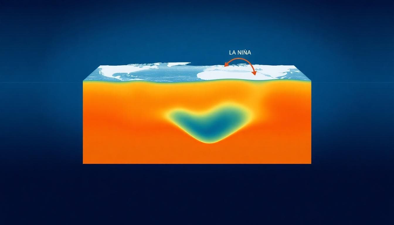
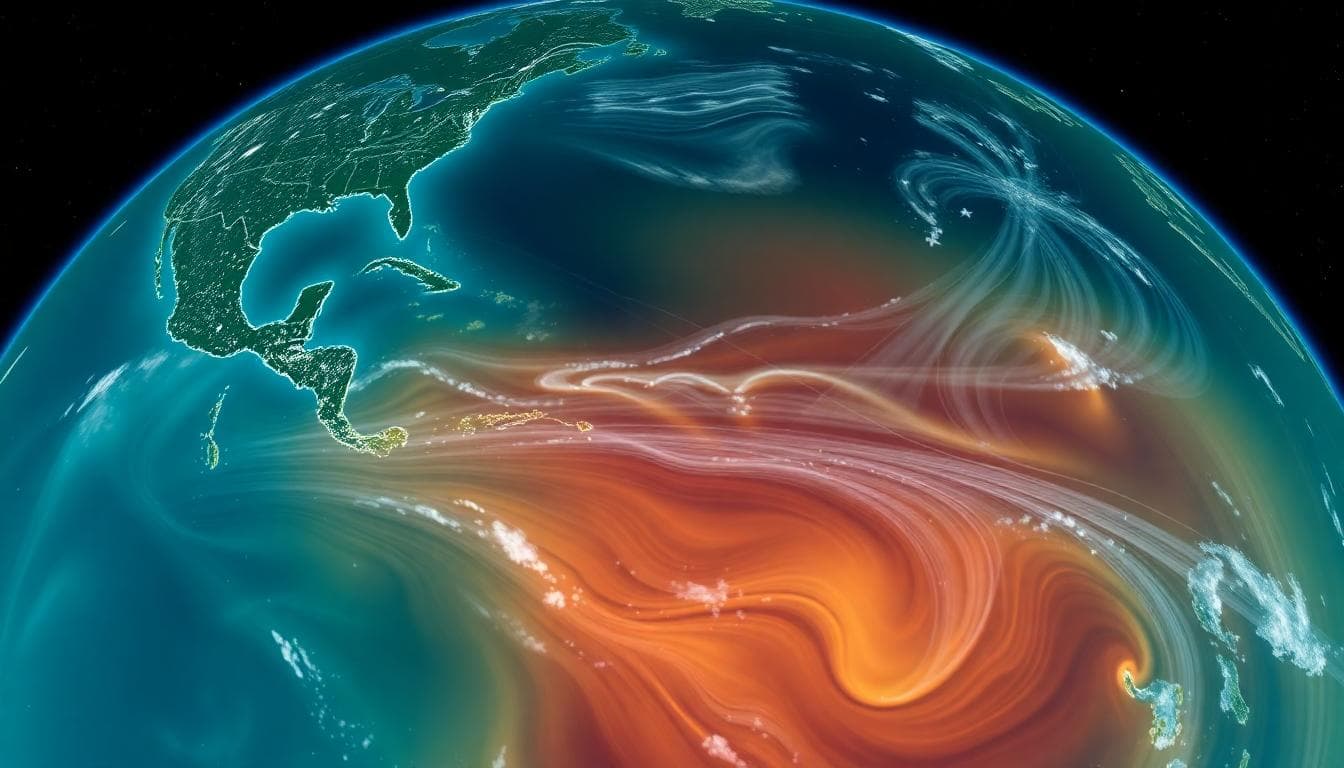
La Niña is part of the El Niño–Southern Oscillation, or ENSO, a natural climate cycle that flips between warm (El Niño), cool (La Niña), and neutral phases in the tropical Pacific. During La Niña, stronger trade winds push warm surface water west toward Indonesia. Colder, deeper water wells up near South America, cooling the eastern Pacific. That temperature contrast helps reshape the jet stream and storm paths.

Hurricane Season: Late Push Still Possible
La Niña often lowers wind shear across parts of the Atlantic basin. Lower shear can help tropical storms organize and strengthen. Seasonal experts say November can stay active in La Niña years compared to neutral or El Niño Novembers. The official hurricane season ends on Nov. 30, but the window for late-season development is not closed yet.
Key takeaways if you live along the Gulf or Atlantic coasts:
- Have your storm kit current through November.
- Keep an eye on western Caribbean and subtropical Atlantic disturbances.
- Track official guidance from the National Hurricane Center.
Typical U.S. Winter Pattern in La Niña
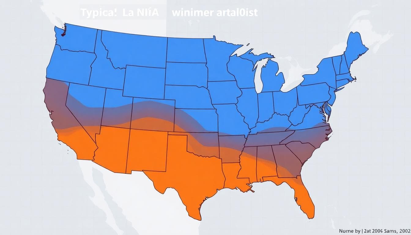
While no two winters are the same, La Niña tends to push the jet stream north and split storm energy. The Pacific Northwest and northern Rockies often see colder, stormier conditions. Much of the South leans drier than average. The Southeast and mid-Atlantic often tilt warmer, with quicker-moving systems in the Northeast that limit big snow totals.

Regional Outlook at a Glance
- Pacific Northwest and Northern Rockies: Higher odds of colder, wetter conditions; mountain snow can arrive early and often.
- Northern Plains and Upper Midwest: Periods of cold blasts; snowfall near average but can spike if storm tracks align.
- Great Lakes and Interior Northeast: Lake-effect snow potential rises if cold air pours over warm lakes, even with fast-moving systems.
- Mid-Atlantic and Southeast: Warmer-than-average temperatures favored; fewer prolonged cold snaps.
- Southwest and Southern Plains: Drier signal; drought can expand without periodic Pacific storms.
- California: Mixed; Northern California can see more Pacific fronts, Southern California trends drier unless atmospheric rivers break through.
How La Niña Alters the Jet Stream
The strengthened Pacific trade winds and cold eastern Pacific waters tend to nudge the polar jet northward in the West. Storms slam into the Northwest, then arc across the northern tier. Farther south, the subtropical jet often weakens, which can reduce big soaking storms in the southern states. For snow lovers along the East Coast, that pattern usually means fewer blockbuster nor’easters, unless brief pattern flips line up cold air and coastal moisture.

Storms, Drought, and Energy Demand
Because La Niña often favors northern storm tracks, snowpack in the Cascades and northern Rockies can build. That helps spring water supply in parts of the Northwest. Meanwhile, the southern tier from Southern California to West Texas and the Gulf Coast can trend drier, raising drought risk. In energy markets, La Niña can boost heating demand in the northern states while easing it in the Southeast.
What This Means for You
- Homeowners: Winterize exterior pipes in colder zones; clean gutters; prep snow gear if you live in the northern tier.
- Travelers: Expect more Pacific storm delays in Seattle and Portland; watch for lake-effect setups near the Great Lakes.
- Farmers and ranchers: Plan for water and feed management in the Southwest; monitor soil moisture and frost windows in the Plains.
- Retail and e-commerce: Stock cold-weather essentials for the North; shift inventory toward mild-weather apparel in the Southeast.
Forecast Confidence and Caveats
Seasonal outlooks set probabilities, not certainties. Blocking patterns, sudden stratospheric warming events, and atmospheric rivers can flip the script for weeks at a time. Local terrain also creates microclimates. Keep checking updates from the Climate Prediction Center and your local National Weather Service office for details as winter approaches.
La Niña is back and expected to hold through winter. That tilts the odds toward a stormier Northwest, a drier southern tier, and a warmer Southeast. Stay flexible, follow official forecasts, and prepare for your region’s most likely outcomes while keeping an eye on short-term pattern shifts.
To contact us click Here .

